- Browse Category
Subjects
 We Begin at the EndLearn More
 - Choice Picks
- Top 100 Free Books
- Blog
- Recently Added
- Submit your eBook
- Browse Category
We Begin at the EndLearn More
- Choice Picks
- Top 100 Free Books
- Blog
- Recently Added
- Submit your eBook

3D Geoinformation Science: The Selected Papers of the 3D GeoInfo 2014 Martin Breunig Editor
2020-04-20 02:16:41
Nowadays 3D Geoinformation is needed for many planning and analysis tasks. For example, 3D city and infrastructure models are paving the way for complex environmental and noise analyzes. 3D geological sub-surface models are needed for reservoir explo...
Read more
Nowadays 3D Geoinformation is needed for many planning and analysis tasks. For example, 3D city and infrastructure models are paving the way for complex environmental and noise analyzes. 3D geological sub-surface models are needed for reservoir exploration in the oil-, gas-, and geothermal industry. Thus 3D Geoinformation brings together researchers and practitioners from different fields such as the geo-sciences, civil engineering, 3D city modeling, 3D geological and geophysical modeling, and, last but not least, computer science. The diverse challenges of 3D Geoinformation Science concern new approaches and the development of standards for above- and under-ground 3D modeling, efficient 3D data management, visualization and analysis. Finally, the integration of different 3D approaches and data models is seen as one of the most important challenges to be solved.
Less

Compare Prices
| Store | Availability | Book Format | Condition | Price |
|---|---|---|---|---|
| Barnes & Noble | In Stock | Hardcover<span class="editionFormat pl-xxs">(2015)</span> | Hardcover<span class="editionFormat pl-xxs">(2015)</span> | Buy USD 152.99 |
Barnes & NobleIn Stock
Format
Hardcover<span class="editionFormat pl-xxs">(2015)</span>
Condition
Hardcover<span class="editionFormat pl-xxs">(2015)</span>
Available Discount
No Discount available
Related Books
View AllWays of Nature

Pilbara Seed Atlas and Field Guide
Tawny Frogmouth
Introduction to Plant Fossils
Trees You Want To Know
Eyes to See
The Geomorphology of the Great Barrier Reef
Our Vanishing Wild Life: Its Extermination and Preservation
Influences of Geographic Environment
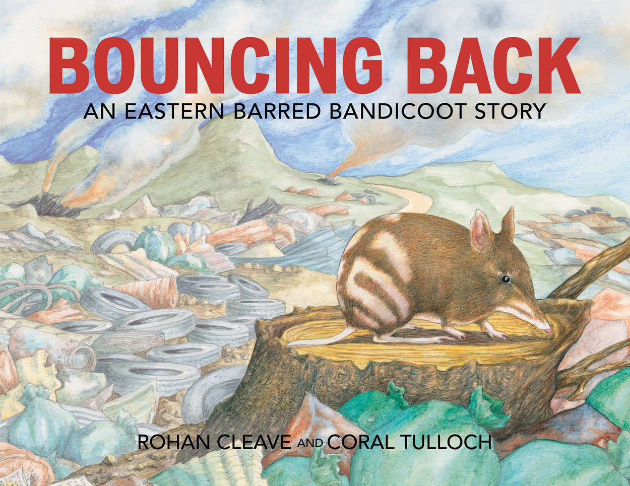
Bouncing Back
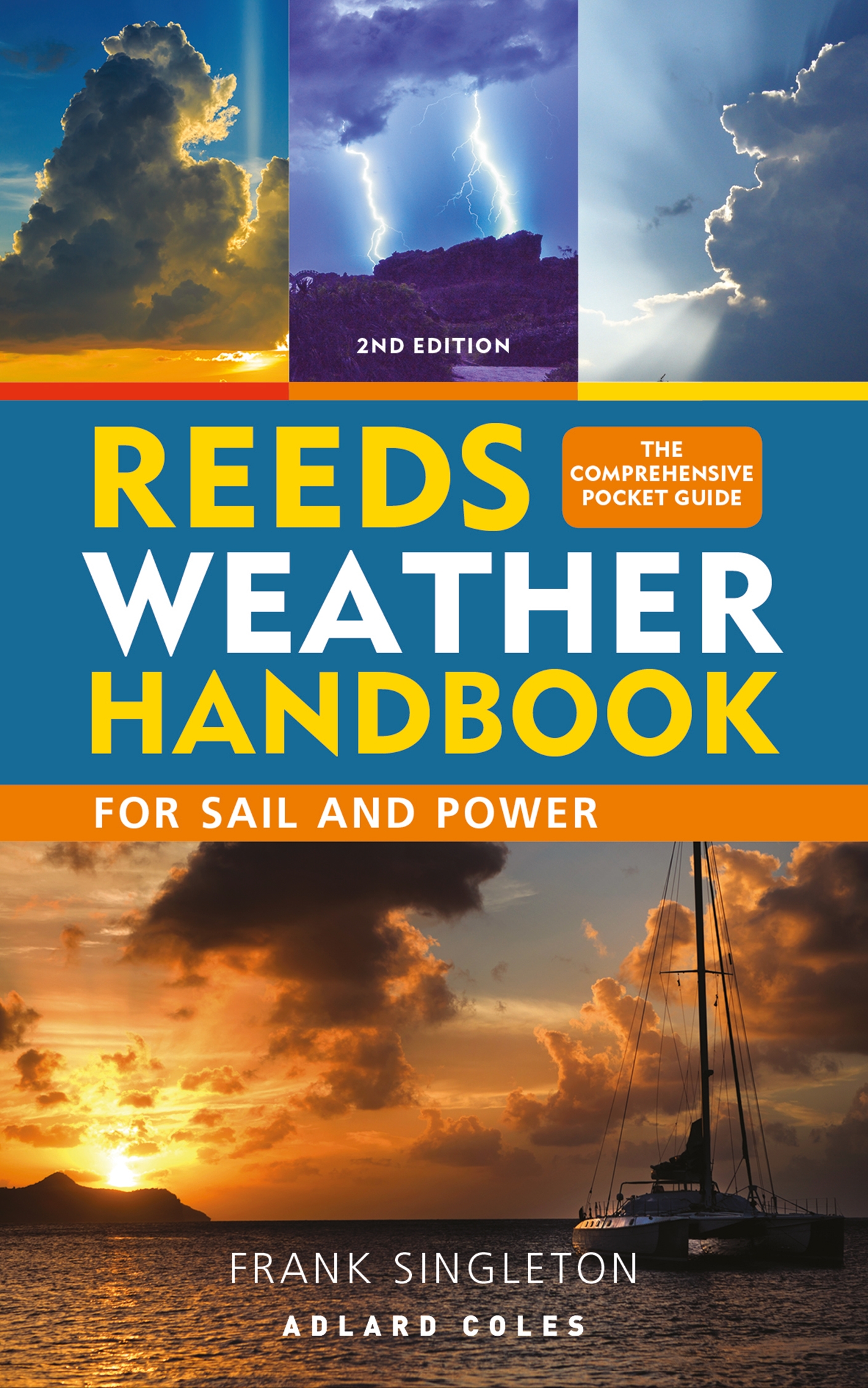
Reeds Weather Handbook 2nd edition
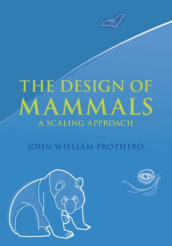
The Design of Mammals

Current Therapy in Medicine of Australian Mammals
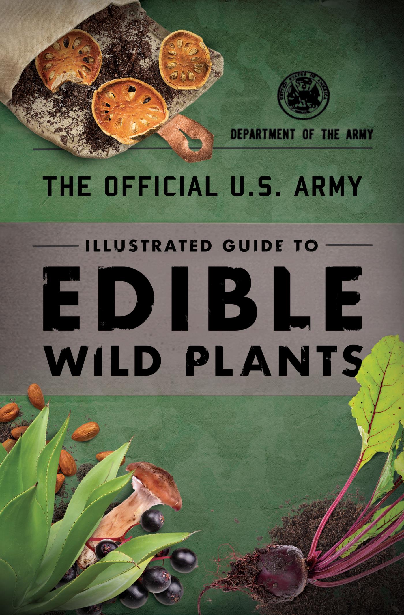
Illustrated Guide to Edible Wild Plants
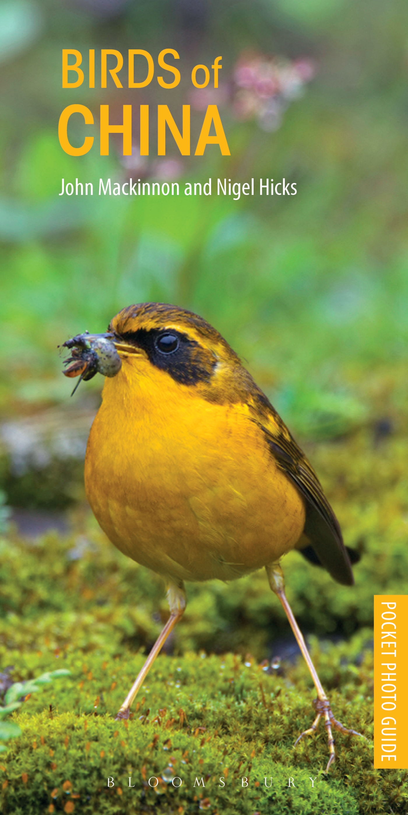
Birds of China
Schutz- und Trutzbündnisse in der Natur
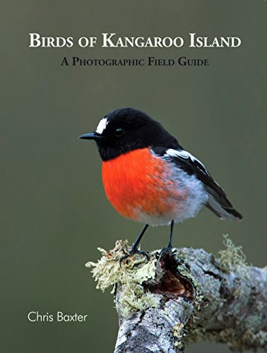
Birds of Kangaroo Island
Tales of the Birds
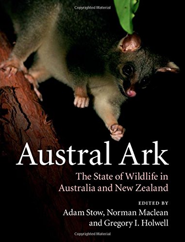
Austral Ark
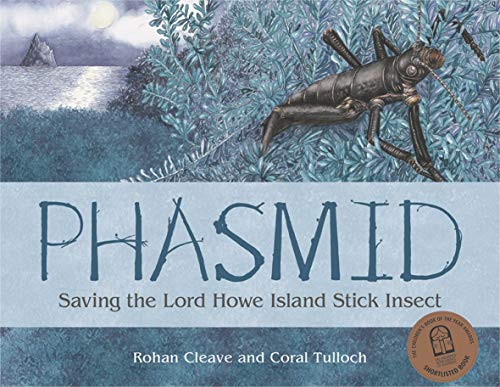
Phasmid

The Model Arab League manual
Handbook on Water Security
Echidna

Sustainability Transformations
Fish Populations, Following a Drought, in the Neosho and Marais Des Cygnes Rivers of Kansas

Settings
Reflow text when sidebars are open.